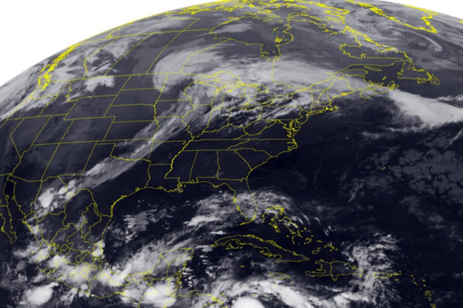
Tropical Storm Matthew moving quickly in Caribbean
Loading...
| Miami
A hurricane warning is in effect for coastal areas of Nicaragua and Honduras as Tropical Storm Matthew approaches Central America.
The U.S. National Hurricane Center in Miami said Friday that Matthew has maximum sustained winds of 50 mph (85 kph). Additional strengthening is forecast and Matthew could become a hurricane later in the day.
A hurricane watch is in effect for the coast of Belize. Also, a tropical storm warning is in effect from Limon, Honduras, to the Guatemala border.
Matthew is located about 240 miles (390 kilometers) east of Puerto Cabezas, Nicaragua, and moving west near 16 mph (26 kph).
Meanwhile far out over the Atlantic, Tropical Storm Lisa is drifting slowly northwest with maximum sustained winds near 40 mph (65 kph).


