At least another week of 'upside-down winter' in US
Loading...
Forget Pennsylvania's Punxsutawney Phil or Nantucket's Quentin Quahog – a pampered clam whose prognostication consists of spitting in one of two directions, depending on how much longer winter will maintain its grip on the region.
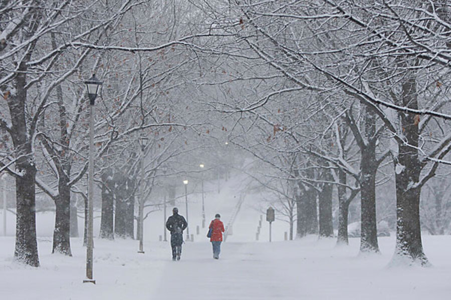
With another winter storm moving through the eastern US today and taking aim at New England tonight, Accuweather forecaster Joe Lundberg is holding out hope that by the end of next week the worst of the season's storms may be over.
One more major blast of Arctic air is likely next week, turning storms moving across the country into snow and ice machines, he suggests on his blog.
"My thinking is that this will represent the high point (or low, depending upon your perspective) of this siege of cold that gets us to the end of the month," he writes.
The high point, or low point, comes none too soon.
Several southern states endured another bout of snow and ice today as a storm system moved across the eastern US and reached down into Alabama, Tennessee, and Kentucky. Atlanta braced for an additional 2 inches of snow, but by the time the storm arrived, the city got doused with rain instead.
States throughout the east are plowing through their snow-removal budgets at a furious pace. Last week, for instance, West Virginia reportedly had spent $43 million of the $54 million it has set aside for snow removal. In neighboring Virginia, the state reportedly had spent the $79 million it had allotted, drained a $25 million reserve fund, and is now dipping into its $1.6 billion account for maintenance.
Meanwhile, over in Vancouver, the Olympics might sometimes seem anything but winter games. Yesterday's temperatures in Vancouver, British Columbia, reached 54 degrees Fahrenheit, one degree short of tying a record high for the day.
Travel father north and east, into Canada's great frozen north, and temperatures – though cold – have been relatively toasty. Indeed, January's average temperature across most of the Canadian Arctic and well into Greenland hit nearly 10 degrees F. above normal, according to data from the National Oceanic and Atmospheric Administration's earth Systems Research Laboratory in Boulder, Colo.
This has led Weather Underground meteorologist Jeff Masters to dub this the upside-down winter – with temperatures along the southern US colder than normal, compared with warmer than normal temperatures much farther north.
Climate experts point to a moderate-to-severe El Niño, depending on whose measure you pick. El Niño refers to a build-up of unusually warm seawater in the eastern tropical Pacific. That build-up effects atmospheric circulation patterns around the globe. In addition, researchers point to a strongly negative phase of a pair of related atmospheric features called the North Atlantic and Arctic Oscillations, as an additional driver behind the inverted winter over North America.
Forecasters at NOAA's Climate Prediction Center in Camp Springs, Md., say they anticipate El Niño lasting through spring. Between now and April, that suggests below-normal temperatures and above-average precipitation for much of the South, continued above-average temperatures and below average precipitation across much of the northern US, and below-average precipitation for the Pacific Northwest and the Ohio River Valley.
----
Follow us on Twitter.


