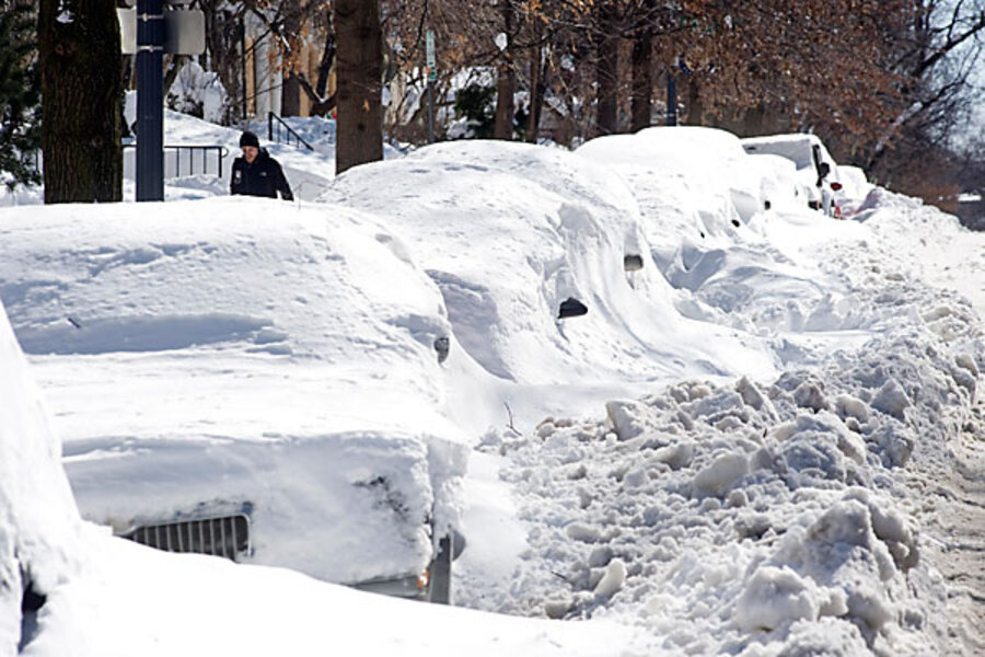
Behind mid-Atlantic snowstorms: a rare weather pattern
Loading...
| Chicago
The pounding of snow this month in the mid-Atlantic region is evidence of an unusual set of weather patterns that are similar to the February 1978 blizzard that buried New England.
“Up and down [the coast], it looks almost identical,” says meteorologist Todd Crawford of Weather Services International. One difference between this year and 1978 is geography: Cities from Washington, D.C., to Philadelphia may be hit by their third snowstorm in two weeks, a significant difference from winter weather in New England, which so far this season has been relatively sedate. Still, says Mr. Crawford, climate factors “aligned this year in the exact same pattern” as the historic storm, which dumped nearly 30 inches of snow in cities such as Providence and Boston.
Three consecutive storms have more than doubled that amount. By Wednesday, cumulative snow mass in Baltimore reached 72.3 inches. Philadelphia has received 70.3 inches this winter, and Washington, 54.9 inches – breaking snowfall records for all three cities.
Snowfall in the Midwest has been comparatively mild. In Chicago, cumulative snowfall stands at 45 inches (about 10 inches more than normal), which meteorologist Scott Root explains is largely due to El Niño, the periodic weather pattern from the Pacific that this year split the traditional air flow from Canada into two separate streams, both bypassing the Midwest instead of going straight through it. This year’s pattern, which Mr. Root, who operates WeatherBank, a meteorological consulting company, calls “relatively unique,” is carrying both cold air from Canada and moisture from the South, the combination of which Root says is “causing all this snow” when both consolidate in the east.
“That Southern branch has a significant amount of storm energy, so it’s not surprising it’s just thumping the East Coast with these snow storms,” he says. The intense energy of the Southern branch is responsible for the intense rain storms in southern California and the snowfall in Texas.
Because there is no determining how long the pattern will remain separated into two separate streams, says Root, residents in the mid-Atlantic are not guaranteed that an end to the snowfall is near.
“We haven’t seen the frequency of these storms re-occurring at this [pattern] for a long time,” he says.
Despite the difference in winters between the middle and the eastern regions of the countries, it may be too early to determine if the reasons are due to climate change. Alan Robock, who teaches meteorology at Rutgers University in New Jersey, says mistaking climate change for simple fluctuations in the weather is common. “People have the misconception that, when there is something crazy with the weather, there’s some sort of long-term variation,” Mr. Robock says.
The reality is that changes in the jet stream are random, which makes it easier to predict them from day to day than from season to season. However, determining whether weather patterns are the result of climate change means tracking their behavior over years.
“The flow of the atmosphere is chaotic,” he says. “The small variations are not predictable beyond a few days – that’s just their nature.”
Follow us on Twitter.


